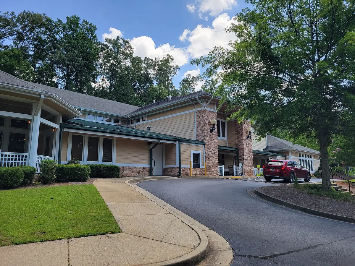
Woodstock's Arnold Mill Road side, with Woodstock Knoll and Dupree Park, splits between River Ridge and Woodstock High. ZIP 30188: $465,240, August 2026.
Last checked Oct. 6, 2026. Sources: the City of Woodstock’s 2023 Comprehensive Plan (PDF) and its GIS map layers, the Cherokee County School District’s boundary maps, the state’s 2025 School Grades data, Zillow Research and OpenStreetMap. City Hall: 770-592-6000.
Arnold Mill Road leaves downtown Woodstock heading northeast toward the Little River. The neighborhoods on both sides of it, from Woodstock Knoll in the north to Colony Woods and Driftwood Forest in the south, are almost all single-family subdivisions. This is where the city’s school zones change: the west end goes to Woodstock High, the rest to River Ridge High.
What this means for you
- Zoned high school: River Ridge High for about 63% of buildings and Woodstock High, including Woodstock Knoll, for 37%. Check one address with the district at 770-479-1871.
- Home value: $465,240 in ZIP 30188 in August 2026, according to the Zillow Home Value Index.
- Nearest interstate exit: I-575 Exit 8, Towne Lake Parkway, about 2.1 miles by road.
Part of our Woodstock neighborhoods guide.
Where it is
The area is east of the Downtown District and north of the Neese Road neighborhoods, reaching east toward Trickum Road. Arnold Mill Road runs through it from southwest to northeast, and Neese Road runs south from it to Highway 92. About 311 of the 827 buildings we mapped are north of Arnold Mill Road, mostly in Woodstock Knoll, which OpenStreetMap and the city’s subdivision map both name. Every building is in ZIP code 30188.
In the city’s 2023 Comprehensive Plan, 94% of the buildings here are in the Suburban Living character area: “larger lots,” where “housing is consistently detached” and “somewhat less accessible to commercial areas on foot.” The plan says large parts of the city, “especially in the east, are largely dedicated to residential uses.”
Homes
The city’s subdivision map names Woodstock Knoll, about 194 acres, and Driftwood Forest, about 169 acres, plus Colony Woods, Park Place Estates, Nowlin Hall, Arnold Mill Estates, Little River Falls and Marlowe. We found no city HOA registry, so this page does not list HOAs.
Schools
How the buildings here split in the Cherokee County School District’s boundary maps. Scores are 2025 College and Career Ready Performance Index (CCRPI) figures from the state’s School Grades data.
| Level | School | Share of buildings | 2025 CCRPI |
|---|---|---|---|
| Elementary | Johnston Elementary (report card) | 57% | 69.4 |
| Elementary | Woodstock Elementary (report card) | 37% | 83.6 |
| Elementary | Little River Elementary (report card) | 6% | 89.7 |
| Middle | Mill Creek Middle (report card) | 63% | 89.5 |
| Middle | Woodstock Middle (report card) | 37% | 87.7 |
| High | River Ridge High (report card) | 63% | 90.9 |
| High | Woodstock High (report card) | 37% | 89.6 |
Woodstock Knoll maps to Woodstock Elementary; the other named subdivisions map to Johnston Elementary, at 2031 E. Cherokee Drive. The district’s geographic assignment chart sends Johnston and Little River students to Mill Creek Middle, 442 Arnold Mill Road, and River Ridge High, 400 Arnold Mill Road. The district scored 87.0 and the state 78.0. Check an address on the district’s maps page or at 770-479-1871. More in our Woodstock schools guide.
Home values
The typical home value in ZIP 30188 was $465,240 in August 2026, down 1.3% from $471,185 in August 2025, according to the Zillow Home Value Index. The citywide Woodstock figure was $456,827, down 1.9%. The index is a modeled typical value for the middle third of homes, not a sale price, and the ZIP code covers most of the city east of I-575. More in our home prices guide.
Parks and trails
From the city’s parks page and Greenprints Trail System:
- Dupree Park, 513 Neese Road, the city’s oldest park: 18-hole disc golf, a playground, a fishing pond, six pickleball and two tennis courts, two basketball courts and family mountain bike trails. The comprehensive plan lists expanding Dupree Park among its parks goals.
- Rubes Creek Trail, a 0.7-mile concrete trail from Arnold Mill Road near Fire Station 14 south toward Springfield Road.
- Community Garden, 311 Arnold Mill Road, at the area’s west end.
OpenStreetMap also places two J.J. Biello Park ball field complexes just north of the city line, at 250 Brooke Blvd. and 610 Druw Cameron Drive. More in our parks and trails guide.
Getting around
- I-575: Exit 8, Towne Lake Parkway, about 2.1 miles by road; Exit 9, Ridgewalk Parkway, about 3.6 miles; Exit 7, Highway 92, about 4 miles.
- Downtown: about 1.7 miles to the Park at City Center.
- Airport: about 41 miles to Hartsfield-Jackson Atlanta International Airport.
- These are distances on the OpenStreetMap road network, measured with the OSRM routing engine from the middle of the area, not drive times.
- Transit: Xpress commuter buses list no Woodstock stop. More in our getting around guide.
Groceries and everyday stores
There is no supermarket inside the area. From OpenStreetMap, the nearest are:
- Kroger, 12050 Highway 92, with a pharmacy, south at Highway 92
- Walgreens, 12075 Highway 92
- Publix, 6175 Holly Springs Parkway, to the north
- Woodstock Pharmacy, 8612 Main St., downtown
How we drew this area
This area is the part of the city east of the Downtown District and west of about Trickum Road, north of latitude 34.098, outside the Ridgewalk area. Arnold Mill Road was approximated as a straight line to count buildings north and south of it. School shares, ZIP codes and character areas come from the buildings mapped in OpenStreetMap inside it, matched to the district’s countywide boundary maps and the Census Bureau’s ZIP code areas. Store and park locations are © OpenStreetMap contributors.
Frequently asked questions
What high school is Woodstock Knoll zoned for?
Woodstock High. In the Cherokee County School District’s boundary maps, Woodstock Knoll is in the Woodstock Elementary zone, which feeds Woodstock Middle and Woodstock High. Most of the rest of the Arnold Mill Road side is zoned for Johnston Elementary, Mill Creek Middle and River Ridge High.
Is the Arnold Mill Road area of Woodstock a good place to live?
Here are the facts. The area is almost all single-family subdivisions, such as Woodstock Knoll, Driftwood Forest and Colony Woods, about 1.7 miles by road from downtown, with Dupree Park on Neese Road. River Ridge High scored 90.9 and Woodstock High 89.6 on the state’s 2025 CCRPI, and Zillow put the typical home value in ZIP 30188 at $465,240 in August 2026.
Where is Dupree Park in Woodstock?
At 513 Neese Road. It is the city’s oldest park, with disc golf, a playground, a fishing pond, pickleball, tennis and basketball courts and family bike trails, according to the city.
What ZIP code is Woodstock Knoll?
- Every building we mapped on the Arnold Mill Road side of the city is in ZIP code 30188.
Have your say